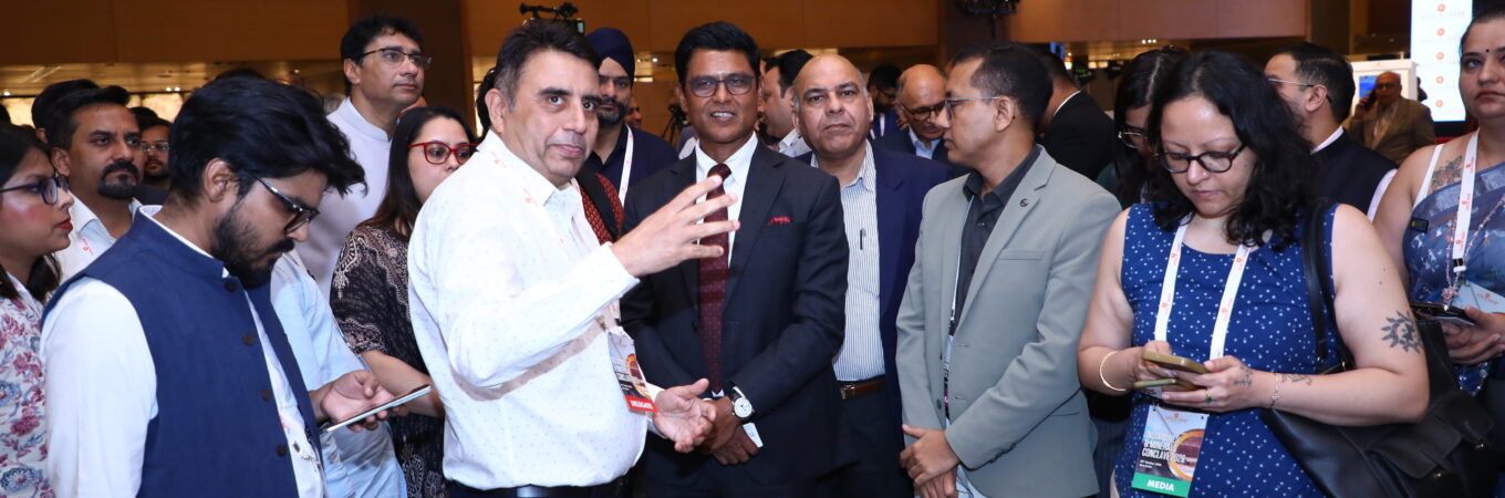
We are excited to announce our participation as an exhibitor at the INDIA MINES & MINERALS CONCLAVE 2026, held on October 9th to 10th, 2026, at the Le Meridian in New Delhi. We sincerely thank you for your ongoing support, patronage, and encouragement, which serve as our greatest motivation and keep us focused on achieving continued success.
At our exhibit, we have showcased a range of cutting-edge geotechnical technologies, including:
Online LIBS Analyzer – Real time elemental analysis : The Long-Range LIBS analyzer is a sensor system designed to measure the elemental composition of samples at a distance of 3 to 8 meters from the sensor.
ECORE- LIBS Core Scanner – LIBS (Laser-Induced Breakdown Spectroscopy) technology analyses, detects, identifies and classifies or quantifies the chemical composition of any material, regardless of its state (gas, liquid, solid, conductive or non-conductive) from H to U.
Multi-Sensor Hyperspectral Core Scanner. – Complete range of hyperspectral cameras including LWIR are integrated into a single system with other sensors/camera like RGB, 3D Profiler, XRF, Hardness, Magnetic etc. providing a comprehensive solution.
Dynamic XCT System – CoreTom– Tescan CoreTOM is multi-resolution micro-CT system optimized for geoscience applications.
Land Gravimeter – This gravimeter has an operating range of 10,000 mGal, making it suitable for a wide range of geophysical research applications.
Absolute Gravimeter – The Absolute Quantum Gravimeter (AQG) is an absolute gravimeter based on quantum technologies and atom-light interactions, offering unparalleled accuracy of 10 nm/s2.
Gamma Ray Spectrometer & Scintillometer – 2048-channel geophysical gamma-ray spectrometer for field exploration, borehole logging, carborne survey and laboratory use.
Resistivity / Induced Polarization (IP) System – Reliable and robust, the GDD IP Transmitters are used over the world for Resistivity and Time-Domain Induced Polarization (IP) surveys for a wide range of applications. 10,000W-4800V Master/Slave option allows faster readings and increases productivity.
Advanced Borehole Logging Solutions. – Geophysical logs provide petrophysical property information important to exploration geophysicists, geologists, mine managers, and multi-disciplinary professionals involved in exploration, mine-site production and development, mine de-watering, and many other mining industries demands.