2025 - Indian Roads Congress (IRC)
CIS @ IRC'25
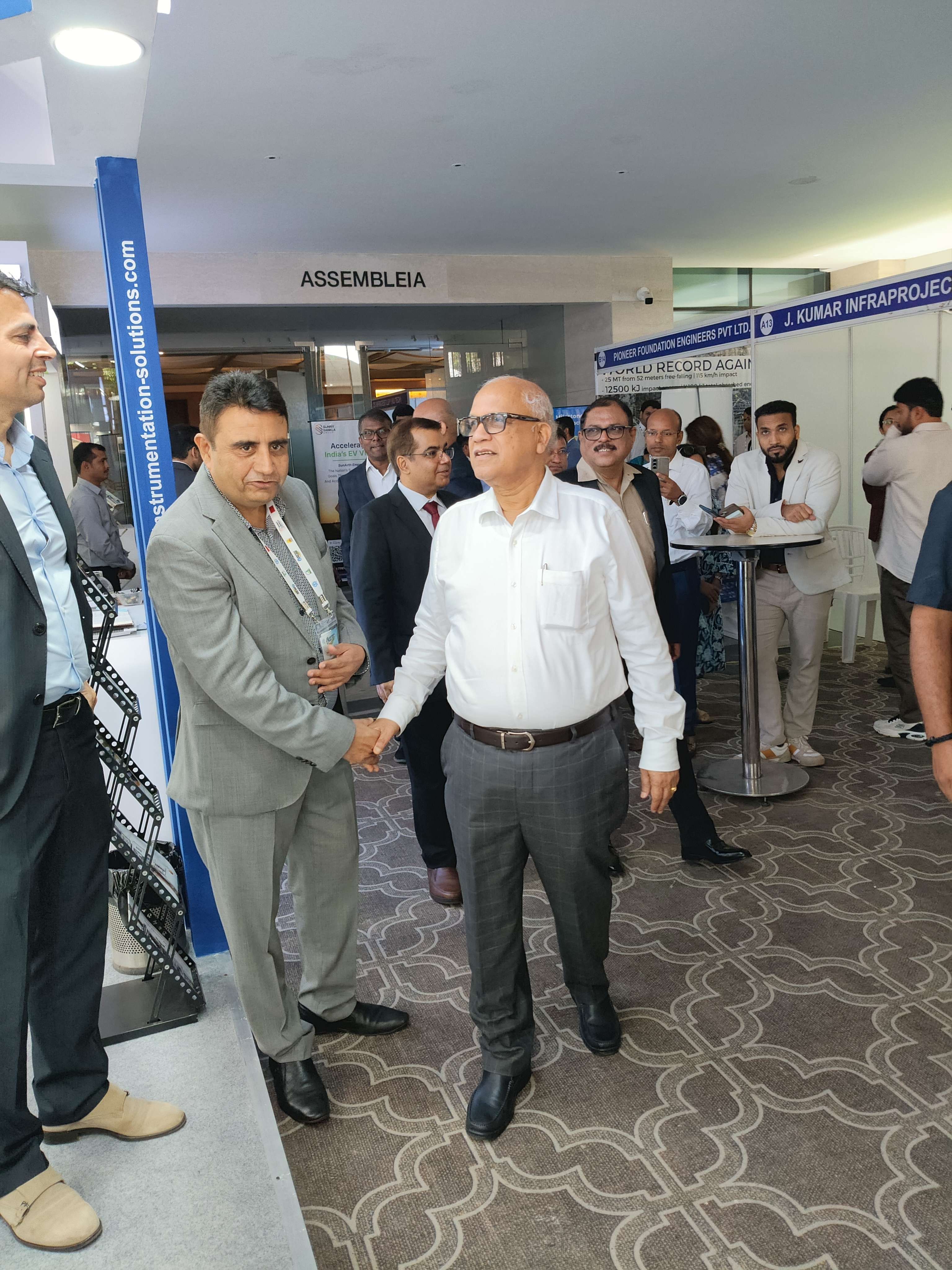
We are delighted by the strong response at IRC 2025, held in Bhubaneswar from November 6–10, 2025
Our team showcased several innovative technologies aimed at advancing road infrastructure assessment and performance, including:
🔹 3D Noise Modulated Ground Penetrating Radar (300 MHz–4 GHz) – for accurate mapping of underground utilities, pavement layers, and bridge decks.
🔹 Ground-Coupled Noise Modulated 3D GPR – enabling high-speed (up to 100 km/h) road surveys with superior clarity and minimal traffic disruption.
🔹 Traffic Speed Deflectometer– a vehicle-mounted system for continuous evaluation of pavement structural capacity.
🔹 Laser Crack Measurement System (LCMS-4) – an automated 3D scanning solution for detailed urban road condition assessment.
🔹 15 mts Platform Type Mobile Bridge Inspection Unit
🔹 NoNuke- Non Nuclear Density Guage- to measure the density and percentage of compaction of asphalt pavement during construction and quality control
🔹 Horizontal and Vertical Retro Reflectometers– for evaluating the reflectivity of Road signs and Road markings
🔹 Vehicle Mounted Falling Weight Deflectometer - a vehicle-mounted system for discreet evaluation of pavement structural capacity.
🔹 Road Doctor– an ultimate Network Survey Vehicle for real time analysis and presentation of surface distress of Rural Roads
🔹 Light Weight Deflectometer – a combination for field and lab studies
🔹 NDT equipment
We also showcased several advanced systems, including the Universal Testing Machine for Asphalt for dynamic and static mechanical characterization; Asphalt Testing Solutions for continuous measurement of density and compaction during pavement construction and quality control; a 10-meter Large Wheel Tracker for rutting analysis; Senceive Smart Structural Health Monitoring Systems; Digital Weigh-in-Motion Systems; as well as pavement instrumentation and a Large Shear Box.
Thank you to all visitors, collaborators, and partners who joined us — your engagement inspires our mission to deliver data-driven, sustainable road infrastructure solutions for India’s future.
2025 - 1st Geotech Asia
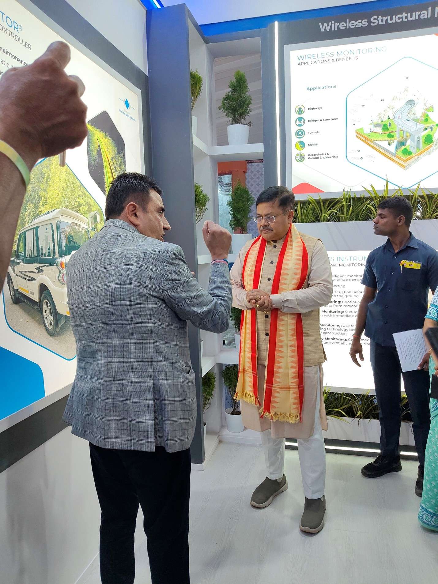
We are excited to announce our participation as an exhibitor at the 1st Geotech Asia International Conference, held from October 7th to 10th, 2025, at the Taj Cidade de Goa Horizon in Goa. We are also proud to share that we won the "Best Stall" award, selected from over 100 exhibitors worldwide. This recognition is a testament to our team's creativity, effort, and commitment to excellence in showcasing our products and innovations. We sincerely thank you for your ongoing support, patronage, and encouragement, which serve as our greatest motivation and keep us focused on achieving continued success.
At our exhibit, we have showcased a range of cutting-edge geotechnical technologies, including:
- Polyaxial Rock Testing System
- High Pressure–High Temperature Rock Triaxial System
- Bishop Ring Shear Apparatus
- Temperature-Controlled Triaxial Testing Systems
- Large Direct Shear Testing Device
- ECORE-LIBS Core Scanner
- Wireless Structural Monitoring
- Geoprobe – Direct Push Rig
- Land Gravity Meter (LG-1)
- ARES II – 10-Channel Automatic Resistivity System
- Multi-depth Electromagnetic Conductivity Meters
This event provided a platform for professionals, researchers, and industry leaders to gather and discuss the latest advancements, challenges, and solutions in geotechnics. The event hosted a series of technical sessions fostering engagement and networking. During this event, we established valuable connections with participants, leveraging the opportunity to showcase our capabilities and learning about emerging technologies in demand.
2024 - Indian Ground Penetrating Radar Symposium, Delhi (April)
The inaugural Indian Ground Penetrating Radar S read more..
2024 - Indian Ground Penetrating Radar Symposium, Delhi (April)
The inaugural Indian Ground Penetrating Radar Symposium in 2024 spanned two days, during which we, as primary sponsors, spotlighted a diverse array of GPR systems. Our exhibition showcased the specifications of MALA Easy Locator Core, MALA GeoDrone 80, MIRA Compact, and the Concrete scanner, emphasizing their applications in utility mapping. With over 100 attendees from across the nation, the event hosted a series of technical sessions fostering engagement and networking. On the first day, we established valuable connections with participants, leveraging the opportunity to showcase our capabilities and learn about emerging technologies in demand.
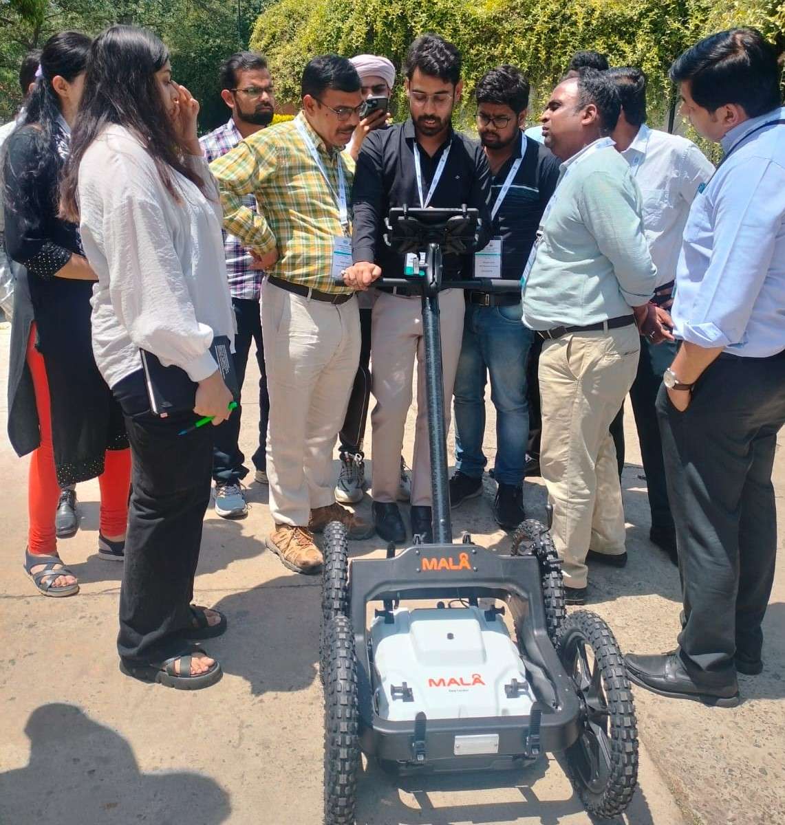
The event provided a platform for us to showcase our expertise and interact with attendees seeking insights into our showcased equipment, particularly the MALA Easy Locator Core and Concrete Scanner, which were available for live demonstrations. Our stall garnered significant interest, with numerous delegates and participants eager to grasp the functionality and operations of the equipment. The second day involved hands-on fieldwork for comprehensive data collection, followed by detailed processing to facilitate easier data interpretation. Through this experience, we realized the reciprocal nature of knowledge sharing, as attendees gained insights into GPR functions and the importance of adept data processing and interpretation.
2024 - IIT Roorkee & MoRTH Stakeholders' Meet on Instrumentation & Real-Time Monitoring of Hill Slope (April)
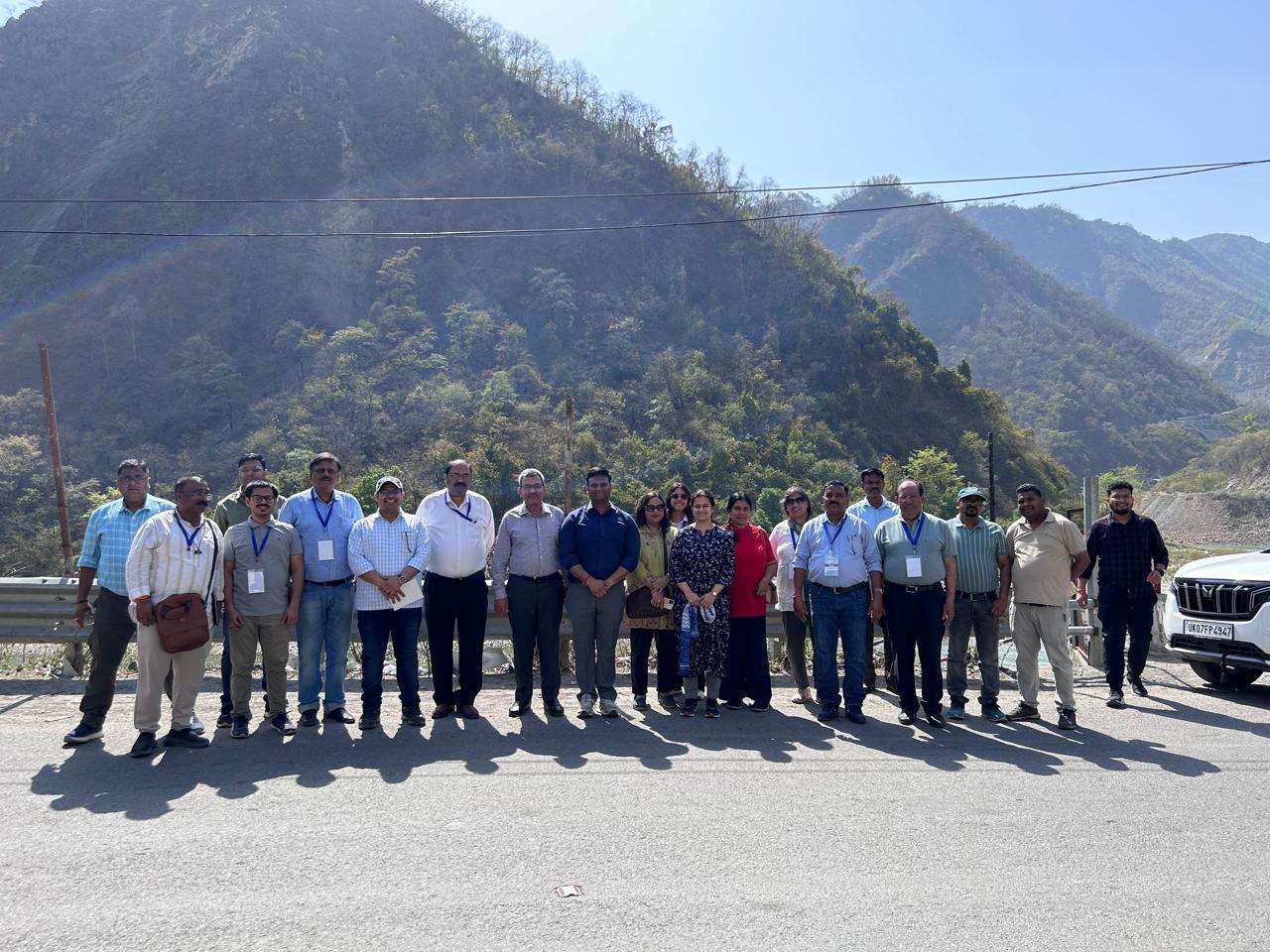
IIT Roorkee organized a two-day meet on Instrumentation & Real-Time Monitoring of Hill Slope in April wherein our company was invited and actively participated in the discussions on the way forward. This meet was primarily to gather ideas for developing guidelines for hill slope monitoring. This meet was chaired by Shri D. Sarangi, DG & Special Secretary, MoRTH, and presentations on subject matter were made by Principal Investigator Prof. N. K. Samadhiya and Convenors & co-PIs Prof. Akanksha Tyagi and Prof. Alok Bhardwaj from IIT Roorkee's Civil Engineering Department.
During the brainstorming sessions, valuable insights on cost-effective monitoring solutions were presented and discussions were carried on long-term remedial measures for landslide-prone areas. With a focus on precise data interpretation, the meeting targeted on proposing sensor systems, and geospatial techniques for real-time data collection. We suggested that though instrumentation is important, meaningful interpretation of the data collected vis-a-vis geotechnical and geophysical environments is very important. A step in this direction would be to create a digital twin through geospatial techniques and then model the same in the laboratory. Baby/Incremental steps, utilizing one or two instruments instead of gamut of instrumentation would be more feasible. We advised the use of Telemetry Tiltmeter which logs highly accurate rotational tilt data for this application:
- The tiltmeter is frequently utilized for Slope Stability monitoring, the devices can be mounted directly to a rock face or fixed to a post driven into the ground, as the Earth moves the pole rotates and the tilt meter records and transmits this.
- The device can be set to log data from the X and Y axis and transmit at preset time intervals. A standard configuration would be to log every 1 hr and transmit every 6 hours which is a good balance of battery conservation and data upload.
- Devices can transmit immediately and out of their cycle if they detect a movement change that exceeds a threshold
- Data is received and managed in Orion Cloud software
- All device configurations can be remotely changed using the unique two-way communication capability.
2022 - Glimpse of ROMDAS CLINIC (3 August - 9 August)
As you are aware we are the integrators of ROMD read more..
2022 - Glimpse of ROMDAS CLINIC (3 August - 9 August)
As you are aware we are the integrators of ROMDAS Network Survey Vehicles in India and have in the recent past supplied more than 10 nos of LCMS systems( 3D NSVs as per the requirement laid down by NHAI) apart from several 2D and 1D systems. We today have more than 45 ROMDAS systems in India. In our endeavor to ensure that the NSVs supplied by us to various consultants in Northern and Central India are properly calibrated, functioning well, and giving a true reflection of the pavement condition, we had organized “ROMDAS CLINIC” from 3rd -9th August, Saturday and Sunday inclusive. Some of the pictures are attached.
In this “CLINIC” we have addressed the issues which ROMDAS users have with the operation, data collection, and analysis. This would ensure that the data being presented by the consultants to NHAI/MORTH/PWDs gives the true picture of the pavement condition. In case you have any doubts about the data being presented by them, please do feel free to contact us and we shall download the original data collected in the field in the form of .rbf files, and analyze the same for you. Whenever a survey is conducted, a backup file, called the .rbf file is created, which can not be altered.
This “CLINIC” hopefully will not only benefit the users of ROMDAS NSV but will also ensure that the data which is being collected and presented to NHAI/MORTH/NHIDCL//PWD etc gives a true reflection of the pavement distresses.
A baby step ….but a huge leap in trust.
2022 - International Conference on New Technologies and Sustainable Materials in Construction of Rural Roads (Low Volume Roads) and Bridges
Conference Themes
- Resilient & Sustainable Rural Roads Infrastructure - Lowering the Carbon Footprint
- Transforming Rural Economy through Access – Enhancing Integration & Inclusivity
- Management and Maintenance of Rural Roads – Effective Governance Framework


.jpg)


.jpeg)