- Your cart is empty Browse Shop

Airborne Electromagnetics
In the mining industry, Mobile Geophysical Technologies (MGT) delivers significant value by deploying advanced drone-borne and ground-based geophysical systems to streamline the mineral exploration life cycle. For greenfield exploration, MGT utilizes high-resolution UAV-magnetic and electromagnetic systems to efficiently map subsurface geology and identify structural controls, such as faults and shear zones, that host prospective ore bodies. To target deeper mineral systems, they employ innovative semi-airborne electromagnetic (semi-airborne EM) techniques, bridging the gap between shallow drone flights and intensive ground-based methods to detect deeply buried conductive deposits. This UAV-integrated sensor approach drastically reduces the time required to survey vast, rugged, or inaccessible exploration blocks while eliminating the need for expensive helicopter charters or environmentally disruptive line-cutting. Operating at low altitudes allows their drone platforms to capture exceptionally dense, low-noise data, resulting in highly accurate 2D and 3D geological models for precise drill-targeting. Beyond early-stage exploration, MGT’s high-resolution mapping assists in brownfield expansion by tracing existing structural trends, while their near-surface imaging capabilities support site infrastructure safety by monitoring tailings dams and mapping unrecorded underground mine workings.
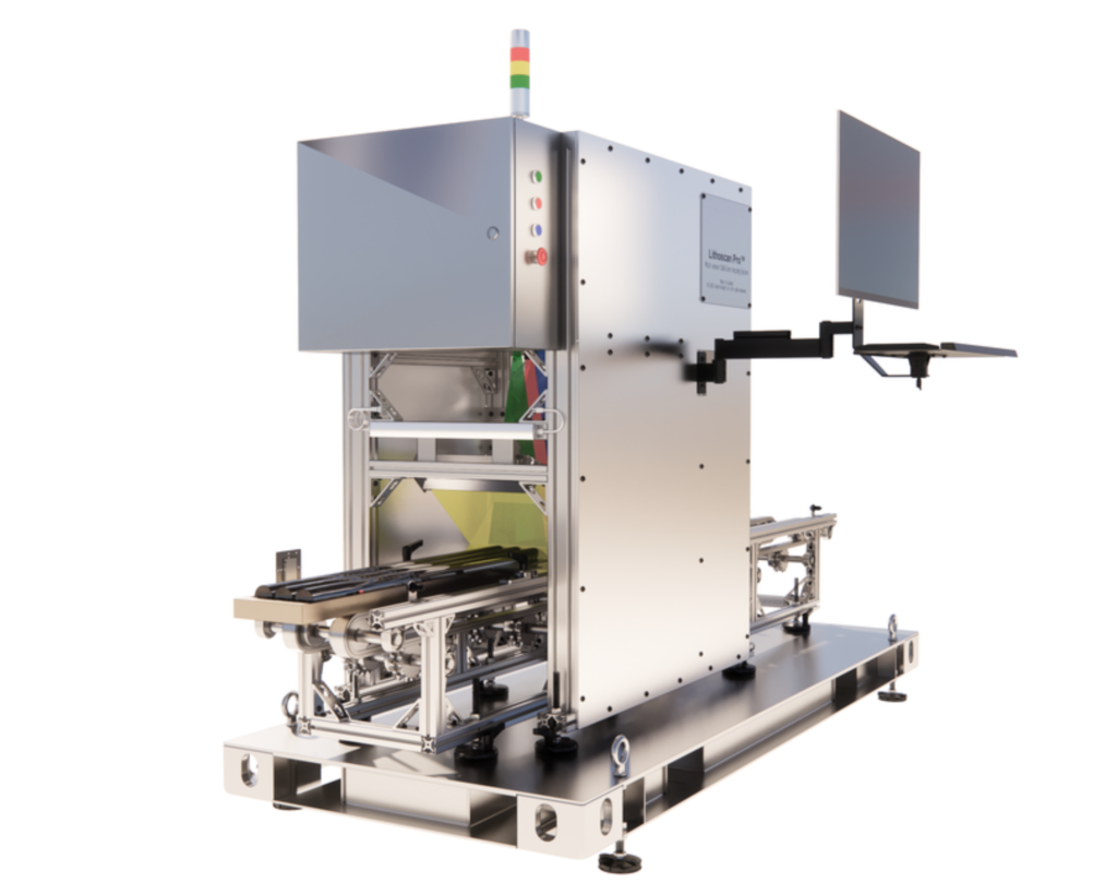
Multi-Sensor Hyperspectral Imaging
This Hyperspectral integrates with artificial intelligence and advanced imaging to modernize mineral exploration. The platform utilizes non-destructive, ultra-high-resolution hyperspectral core imaging to precisely identify subsurface mineral compositions and fractional abundances. By offering an end-to-end workflow—combining proprietary scanning hardware, cloud data management, and machine learning models—the company bridges the gap between raw drilling and geological insight. Their technology features customizable VNIR/SWIR sensors capable of processing up to 1,100 meters of core sample per day without damaging the physical material. This data-driven approach removes traditional logging latencies, allowing exploration teams to accurately map ore-rich zones, improve grading, and de-risk operations early. Ultimately, our mission is to accelerate discovery timelines for critical minerals while minimizing the environmental footprint and subjectivity associated with manual exploration.